This experiment shows how an IGC log recorded on an iPhone can be turned into a Google Earth 3D replay by converting the log to KML with altitude, timestamps, and line styling.
Behind the scenes, the pipeline parses each fix, interpolates climb/sink, generates a KML track with time-coded coordinates, and lays the groundwork for placemarks so pilots can review launch/landing in 3D.
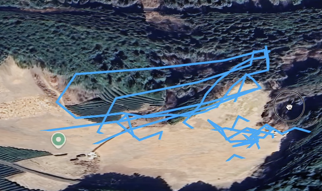
Download demo movie (.mp4)Example: IGC track exported to KML and visualized in Google Earth with altitude shading.
What this prototype covers
IGC → KML conversion with full timestamped fixes and altitude preserved.
Foundation for adding color-coded segments and key-point markers in future iterations.
Next: an in-browser converter where you can drop an IGC file, tweak styling (including lift/sink color coding), add launch/landing markers, and download a KML ready for Google Earth or Google Earth Web.